
GRAND RAPIDS, Mich. —
What exactly is it?
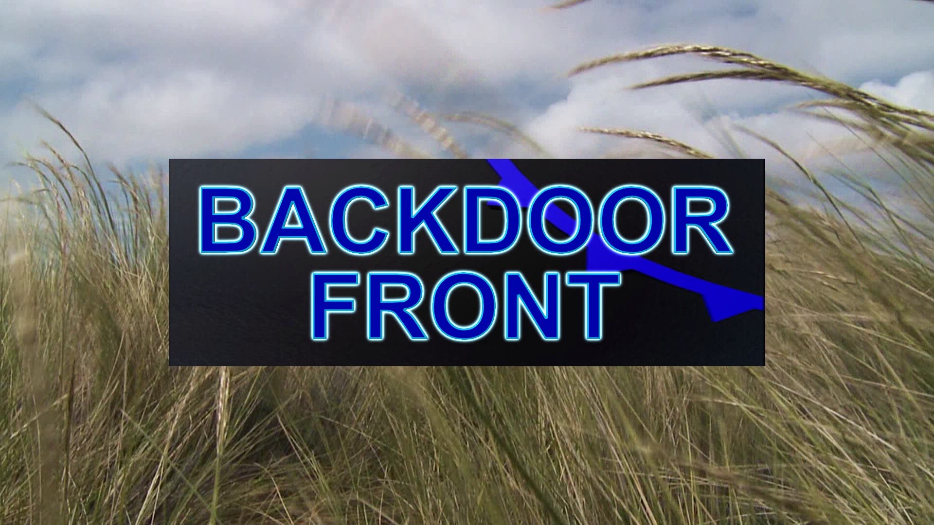
A "backdoor" cold front is a variation of a cold front that comes from an "uptypical" direction. Most cold fronts generally move from W→E across the United States, or a variation of SW→NE or NW→SE. You get the idea. You might call it a "front-door" cold front (but nobody does). Any type of front - cold, warm, occluded, stationary - is a temperature boundary between air masses.
A "back-door" cold front comes from an opposite direction, such as N→S or NE→SW. These are quite common in the New England states.
As with most cold fronts temperatures fall as the fronts pass through.
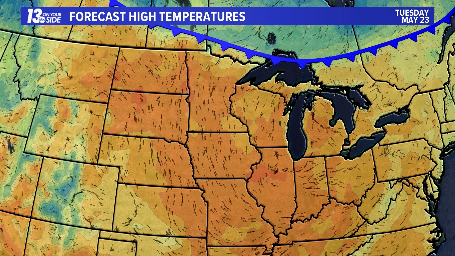
How will this impact Michigan?
Tuesday's highs will be in the 80s across Lower Michigan and in the 70s across the U.P.
Wednesday's high temperatures will drop into the 60s across the Michigan and Wisconsin. Northeast winds will keep temperatures in the 50s along the Lake Superior and Lake Huron shorelines and the Lake Michigan shoreline in Wisconsin and Illinois.
Thursday's highs will remain in the 60s across Michigan, including the shorelines as winds turn back to the south. Temperatures will continue to tumble, however from the 80s into the 60s and 70s over the NE and mid-Atlantic states.
Will it rain?
Most often a change in air mass - from warm to cold (cold front) or cold to warm (warm front) brings clouds and precipitation - rain, snow, etc. depending on the season. Sometimes, there is so little moisture that neither happens. This week's cold front comes through completely dry and nearly cloud-free.
When will it warm up again?
The cool airmass over SE Canada that pushes the cold front through on Wednesday moves east starting Thursday allowing temperature to warm into the 80s through the holiday weekend.

Chief Meteorologist George Lessens
George is a graduate of Penn State University working for 13 On Your Side for over 42 years. He is a Certified Broadcast Meteorologist (CBM), a thirteen-time MAB® Weathercast Award Winner, two-time EMMY® Award Winner, NATAS® Silver Circle Award Winner, and Weather-Ready Nation® Ambassador.
Contact me at: GeorgeLessens@13OnYourSide.com
Follow me on Twitter @glessens and Facebook GeorgeLessensWZZM
Have a 30-second video or photo to share? We'd love to share it with everyone! Share your images by texting your name and location to 616.559.1310 or email to Weather@13OnYourSide.com or post it to our 13OnYourSide Facebook Page
►Make it easy to keep up to date with more stories like this. Download the 13 ON YOUR SIDE app now.
Have a news tip? Email news@13onyourside.com, visit our Facebook page or Twitter. Subscribe to our YouTube channel.