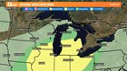
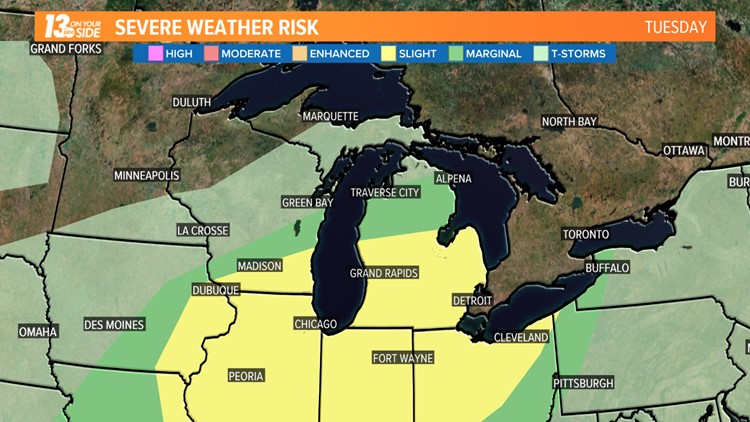
GRAND RAPIDS, Mich. -- A strong cold front will be the focus for thunderstorms on Tuesday. The strongest of these storms has the potential to produce damaging wind gusts and an isolated tornado.
The cold front will be running into an air mass that is ripe for storm development. Warm, moist and unstable air continue to surge north into Michigan. The front will provide the trigger for these storms to erupt.
Multiple rounds of storms are possible Tuesday. The last of which will be along and ahead of the cold front Tuesday evening.
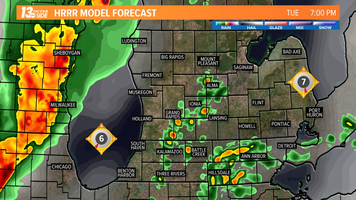
The main threats from the storms will be from very heavy rain and frequent lightning. The strongest of the storms could produce wind gusts over 50 MPH. A tornado can't be ruled out, particularly southeast of Grand Rapids.
Behind the front, cooler and less humid air returns Wednesday. Strong winds will generate gigantic waves on Lake Michigan particularly Wednesday morning.
►Make it easy to keep up to date with more stories like this. Download the WZZM 13 app now.
Have a news tip? Email news@wzzm13.com, visit our Facebook page or Twitter.