
GRAND RAPIDS, Michigan — It's the big question this time of year: will we have a White Christmas?
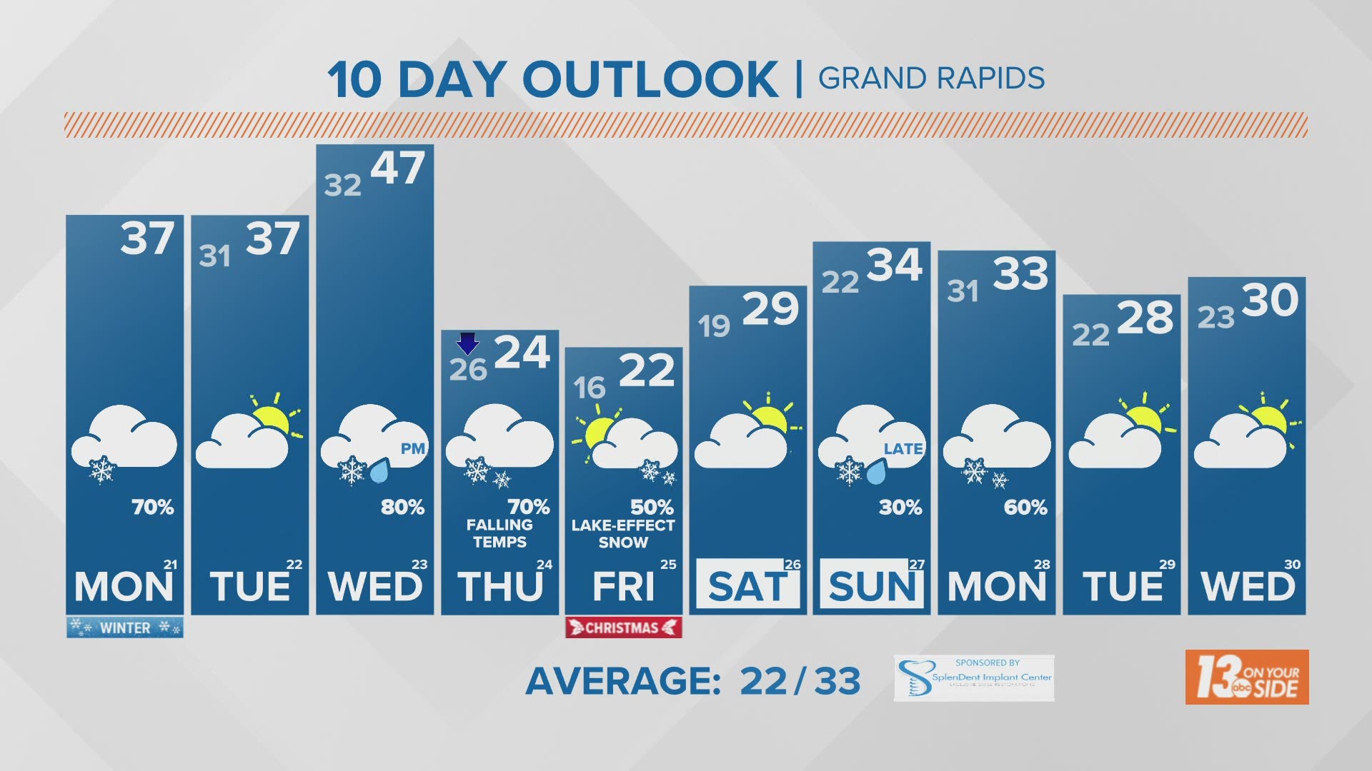
Snow has been very elusive this month for Grand Rapids. With only a trace measured for the entire month so far, Grand Rapids is running 20 inches below average. But a well-timed winter system will bring frigid air and snow to West Michigan just in time for the holiday.
A strong system will move through the Great Lakes mid-week. A warm front brings rain showers and highs in the mid to upper 40s on Wednesday.

A cold front follows on Wednesday night. This front will drag Arctic air into West Michigan. Rain showers change to snow showers and temperatures will drop quickly.
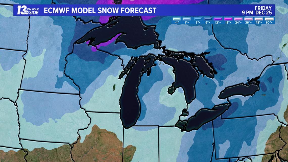
By Thursday morning, widespread snow will be ending, but lake-effect snow showers begin later in the day. Temperatures continue to fall to the low 20s by evening.
Thursday evening travel will be hazardous, especially near the lakeshore. Lake-effect snow bands will mean slick and snow-covered roads through the night.
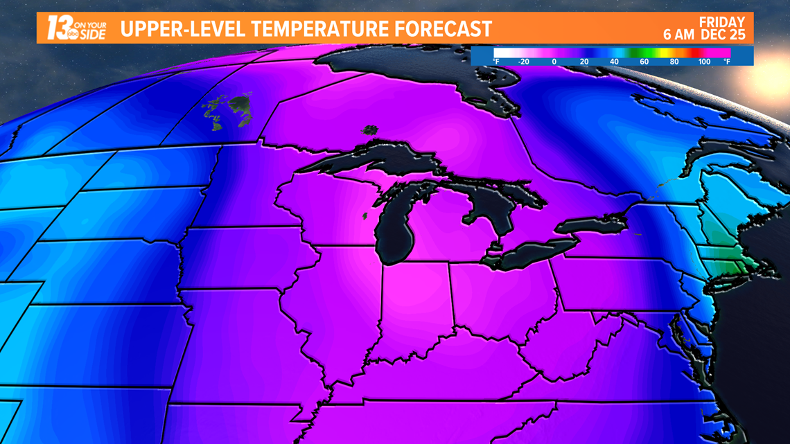
Christmas Day will be frigid with lake-effect snow continuing. Highs reach the low 20s and wind chills stay in the single digits. If travelling, give yourself plenty of time to reach your destination.
How much snow is still a question, but it is likely that all of West Michigan will have at least an inch of new snow by Christmas morning. Lakeshore areas will likely have several inches once lake-effect snow showers wind down Friday evening.

This is an evolving forecast, so stay up-to-date with the latest forecast!
►Make it easy to keep up to date with more stories like this. Download the 13 ON YOUR SIDE app now.
Have a news tip? Email news@13onyourside.com, visit our Facebook page or Twitter. Subscribe to our YouTube channel.