
GRAND RAPIDS, Michigan —
Thursday
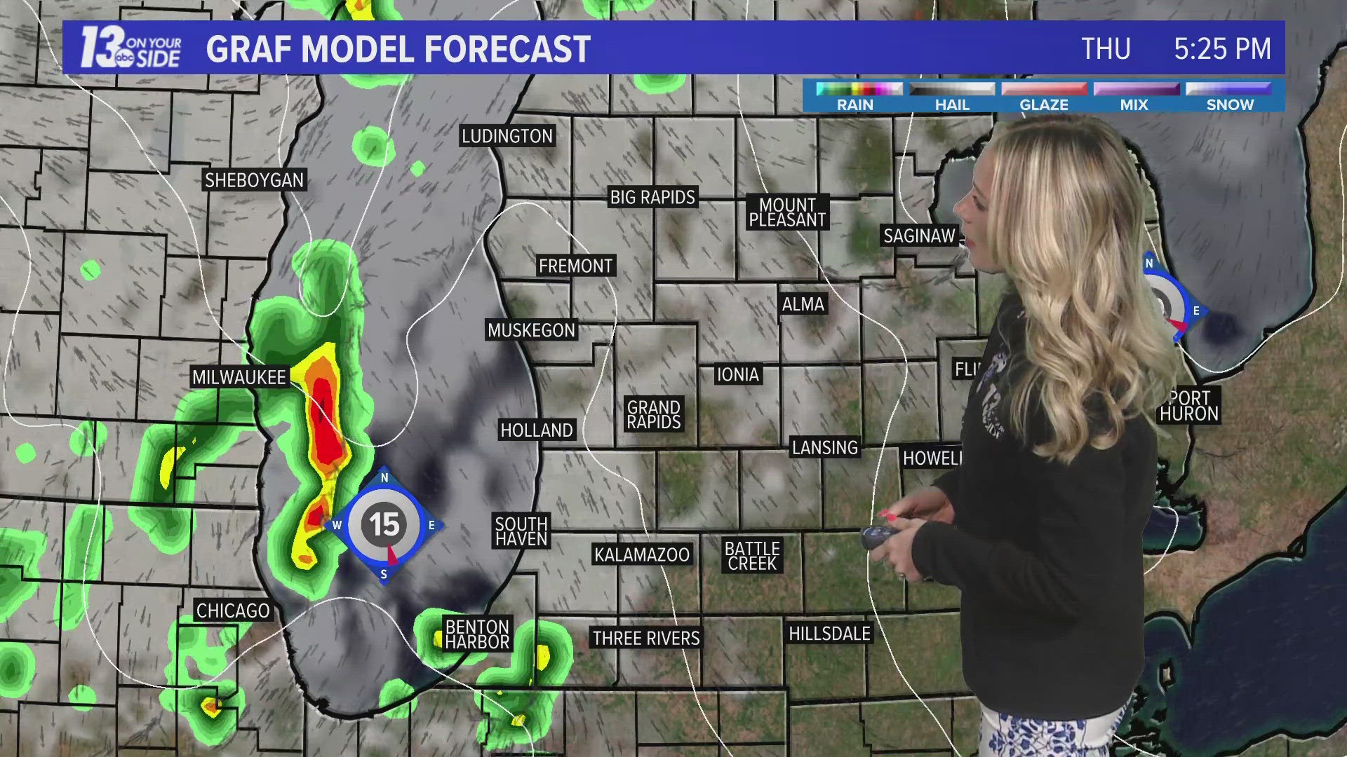
Mostly cloudy and warm with late-day thunderstorms possible. High 74°. E-SE winds ↑ SE 7-14 mph.
Thursday Night
Mostly cloudy and warm with showers and thunderstorms likely, mainly early, followed by late-night clearing. Low 60°. SE-S winds at 6-12 mph ↓ S 3-6 mph.
Friday
Cloudy, warm and more humid with showers likely and a possible afternoon thunderstorm east. High 72° with dew points in the 60s. Winds → NW-N at 6-12 mph.
Friday Night
Clearing early, then becoming cloudy and mild. Low 54°. Winds → NE at 6-12 mph.
Saturday
Partly cloudy, warm and less humid. High 75°. E winds at 6-12 mph ↓ 4-8 mph.
Sunday
Mostly sunny and warm. High 76°.
Monday
Cloudy early, then becoming sunny and warm. High 76°.
Tuesday
Cloudy, breezy, warm and humid with showers possible. High 78° with dew points in the 60s.
Wednesday
Sunny and warm. High 76°.
Thursday
Mostly cloudy and warm. High 72°.
Friday
Partly cloudy and warm. High 72°.
Saturday
Mostly sunny and warm. High 71°.
6-10 Day Outlook
Tue. May 7 through Sat. May 11 calls for above average temperatures and above average precipitation. Average highs are around 67-68° with an average rainfall of 0.67".
8-14 Day Outlook
Thu. May 9 through Wed. May 15 calls for near average temperatures and above average precipitation. Average highs are around 67-70° with an average rainfall of 0.91".
Have a 30-second video or photo to share? We'd love to share it with everyone! Share your images by texting your name and location to 616.559.1310 or email to Weather@13OnYourSide.com or post it to our 13OnYourSide Facebook Page
►Make it easy to keep up to date with more stories like this. Download the 13 ON YOUR SIDE app now.
Have a news tip? Email news@13onyourside.com, visit our Facebook page or X/Twitter. Subscribe to our YouTube channel.