GRAND RAPIDS, Mich — The northern half of West Michigan will face the threat of accumulating ice and snow Saturday night and Sunday morning as a strong storm barrels through the Midwest.
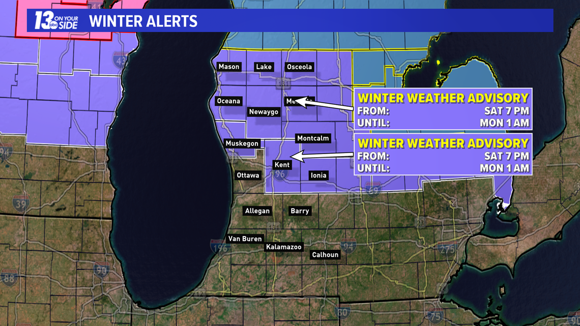
A winter weather advisory has been issued for Muskegon, Kent, and Ionia counties to the north. The advisory begins at 7 p.m. on Saturday and lasts until 1 a.m. on Monday.

West Michigan will stay quiet until this evening, with rain taking over shortly after sunset. A few hours after dark, areas north of I-96 may have rain beginning to freeze. Ice accumulation is likely to the north.
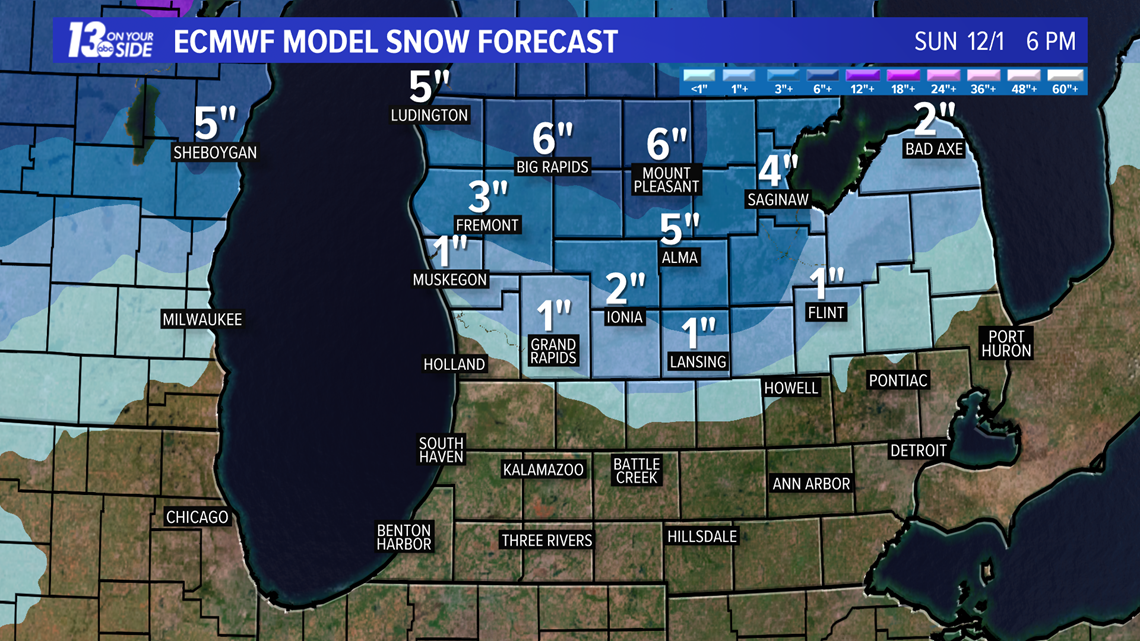
If temperatures continue to cool, precipitation will switch to snow by Sunday morning. Several inches may accumulate near US-10 and north. Those closer to I-96 will get less than an inch of snow.

Winds will also become gusty, especially overnight. Gusts up to 40 mph are likely.
Sunday, light rain and snow showers will continue.
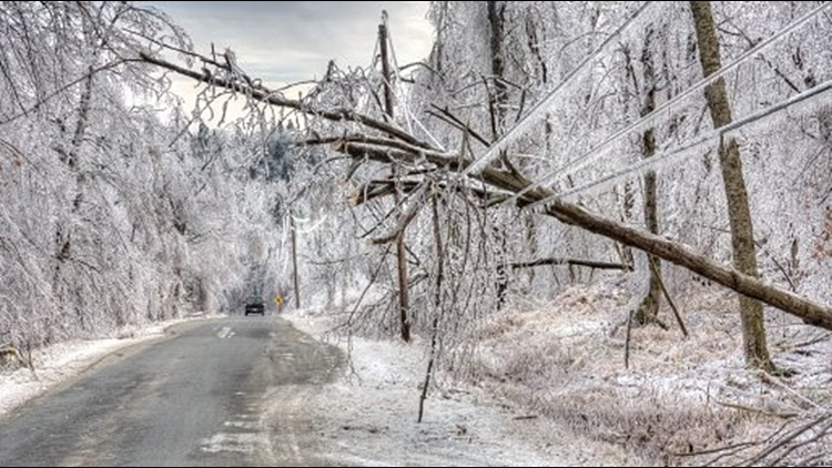
Travel will be hazardous Sunday morning in northern communities. Ice buildup and strong winds could bring power outages, too.
RELATED VIDEO:
►Make it easy to keep up to date with more stories like this. Download the 13 ON YOUR SIDE app now.
Have a news tip? Email news@13onyourside.com, visit our Facebook page or Twitter. Subscribe to our YouTube channel.