GRAND RAPIDS, Mich — All of West Michigan is under some level of risk for Wednesday, July 26th.
Here is what we know.
WHAT
A low-pressure system will drag a very warm and moisture-rich airmass into Michigan tomorrow and this will fuel our shower and storm potential. With temperatures climbing into the upper 80s to low 90s and dew points in the low 70s, the atmosphere will destabilize and be primed for intense storms.
This has caused the Storm Prediction Center to place I-94 and those to the south under a level 3/5 threat for storms. Central portions of West Michigan, including Grand Rapids, Muskegon, and Holland are under a level 2/5 threat, and all northern counties are under a level 1/5 threat. A reminder that level 1 (Marginal) is the lowest and level 5 (High) is the highest.
TIMING
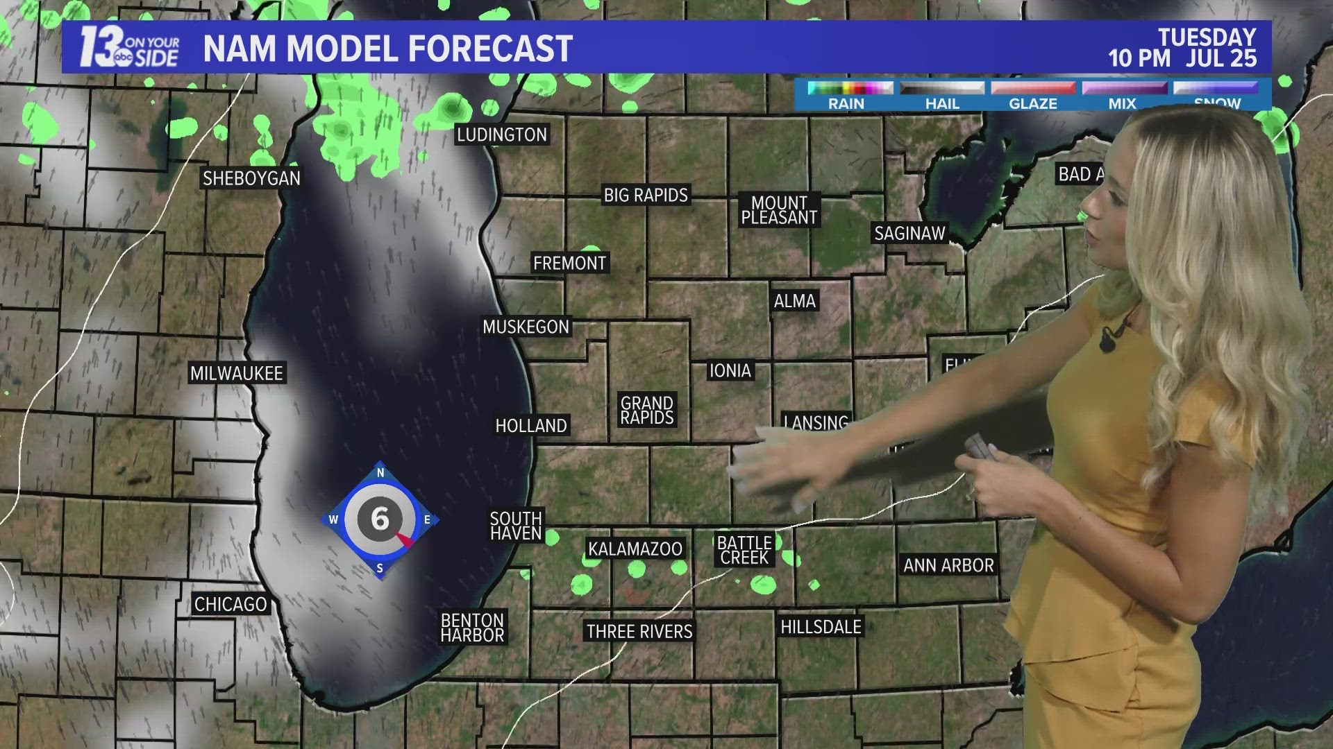
There is still a level of uncertainty surrounding the timing of these storms, as well as how much rainfall we will see on the front edge of them. The more rain we see earlier in the day, the more we will decrease our chances of very strong storms.
As of noon Tuesday, the storms look to begin around 11 a.m. and the threat ends around 8 p.m. I would highly suggest checking back in this evening and tomorrow morning as we should be able to tailor this timeframe more in the coming hours.
THREATS
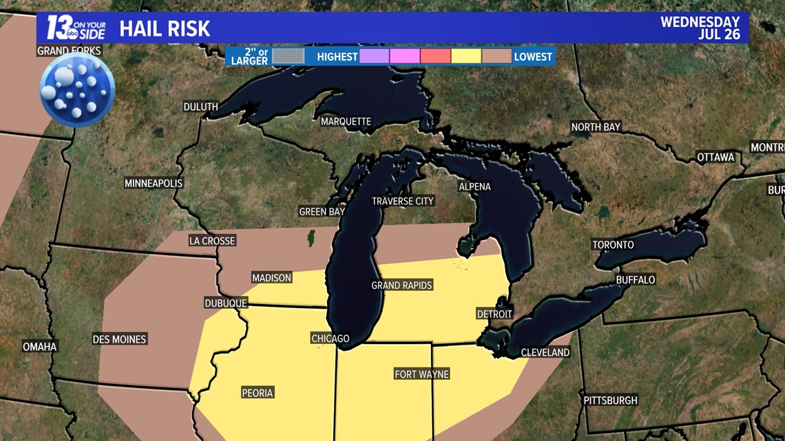
All modes of severe weather are possible tomorrow. The greatest concern would be strong winds exceeding 60+ mph. Although, a few isolated tornadoes can't be ruled out as well as some hail. These threats look to be strongest along and south of I-96. North of I-96 could see some flooding if storms linger for too long in the early afternoon hours.


SAFETY
You should have multiple ways to stay weather aware and receive critical weather information.
There are five direct ways in which you can receive weather alerts.
1. NOAA Weather Radio
The first is NOAA Weather Radio. We often refer to them as the “smoke detector” for severe weather, because they will automatically sound an alarm in the case of a natural disaster or severe weather.
2. Local Broadcast
There is also always your local TV station. The 13 ON YOUR SIDE Weather Department streams on-air and online during an active storm.
3. Radio Station
Local radio stations should alert you if a storm is in your area. You can even set up devices like Alexa and Google Home to alert you with weather notifications.
4. Smartphone
Your smartphones also offer numerous ways to receive critical weather alerts. We have a 13 ON YOUR SIDE Weather App that will allow you to track the storm and receive alerts.
5. Outdoor Sirens
Outdoor sirens are also an option, as they will go off in the threat of immediate danger, but are only meant to be heard outdoors. So, if you are inside this should not be how you receive your severe weather alerts. Outdoor sirens can also be unreliable, difficult for those hard of hearing, and go off for other reasons beyond tornadoes.
While all of those methods are great, none of them are foolproof. So we suggest having two ways to receive alerts at all times.
REPORT
Have a 30-second video or photo to share? We'd love to share it with everyone! Share your images by texting your name and location to 616.559.1310 or email to Weather@13OnYourSide.com or post it to our 13OnYourSide Facebook Page