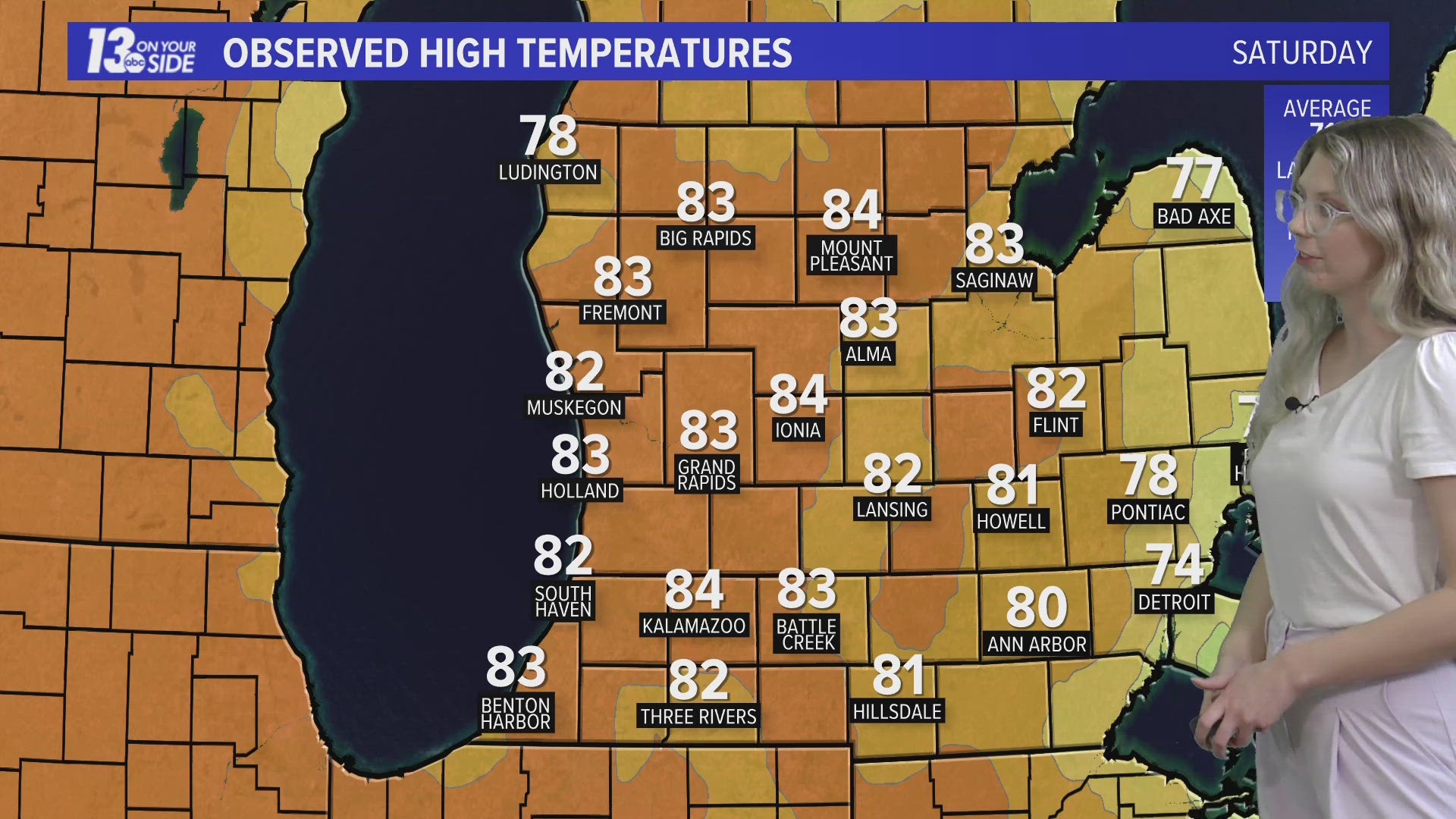
GRAND RAPIDS, Michigan — Storms fire off in the Great Plains today, and some of the leftover oomph from those storms will work into West Michigan tomorrow afternoon, bringing us a low threat of strong to severe storms.
WHAT
A low-pressure system will cross West Michigan Tuesday afternoon bringing chances for storms, some of which have the low-end risk of becoming strong to severe. Because of this, the Storms Prediction Center has West Michigan placed under a level 1/5 risk for strong to severe storms. This is the lowest level risk and indicates isolated storms growing to severe strength.


TIMING
Quiet skies will prevail much of Tuesday morning before thunderstorm chances increase throughout the afternoon and early evening across the region.
Initially, a weakening band of rain and embedded thunder will overspread West Michigan from southwest to northeast midday into the early afternoon. No severe weather is anticipated with the weakening trend expected.
The opportunity of severe weather will be greatest from late afternoon through the evening hours – approximately 4 p.m. to 10 p.m. – as the atmosphere continues to destabilize, increasing the fuel needed for thunderstorms. Additionally, wind shear will be on the increase, which would allow thunderstorms to maintain their strength for a longer duration. The risk of thunderstorms will end throughout the nighttime hours into early Wednesday.
IMPACTS
While all types of severe weather are possible, hail and damaging winds are the most likely outcome. However, a low-end chance for a spin-up tornado does exist.


SAFETY
You should have multiple ways to stay weather aware and receive critical weather information.
There are five direct ways in which you can receive weather alerts.
1. NOAA Weather Radio
The first is NOAA Weather Radio. We often refer to them as the “smoke detector” for severe weather, because they will automatically sound an alarm in the case of a natural disaster or severe weather.
2. Local Broadcast
There is also always your local TV station. The 13 ON YOUR SIDE Weather Department streams on-air and online during an active storm.
3. Radio Station
Local radio stations should alert you if a storm is in your area. You can even set up devices like Alexa and Google Home to alert you with weather notifications.
4. Smartphone
Your smartphones also offer numerous ways to receive critical weather alerts. We have a 13 ON YOUR SIDE Weather App that will allow you to track the storm and receive alerts.
5. Outdoor Sirens
Outdoor sirens are also an option, as they will go off in the threat of immediate danger, but are only meant to be heard outdoors. So, if you are inside this should not be how you receive your severe weather alerts. Outdoor sirens can also be unreliable, difficult for those hard of hearing, and go off for other reasons beyond tornadoes.
SHARE PHOTOS and VIDEOS
If you would like to add to our reports text your photos along with your name and location to 616.559.1310.


►Make it easy to keep up to date with more stories like this. Download the 13 ON YOUR SIDE app now.
Have a news tip? Email news@13onyourside.com, visit our Facebook page or Twitter. Subscribe to our YouTube channel.
Watch 13 ON YOUR SIDE for free on Roku, Amazon Fire TV Stick, and on your phone.


