2018 is not leaving quietly. A wintry storm will bring heavy rain, some snow, and freezing rain before the new year arrives.
It all starts in the morning as rain moves in from south to north. The first hour or so of precipitation could fall as freezing rain before temperatures warm enough to support rain.
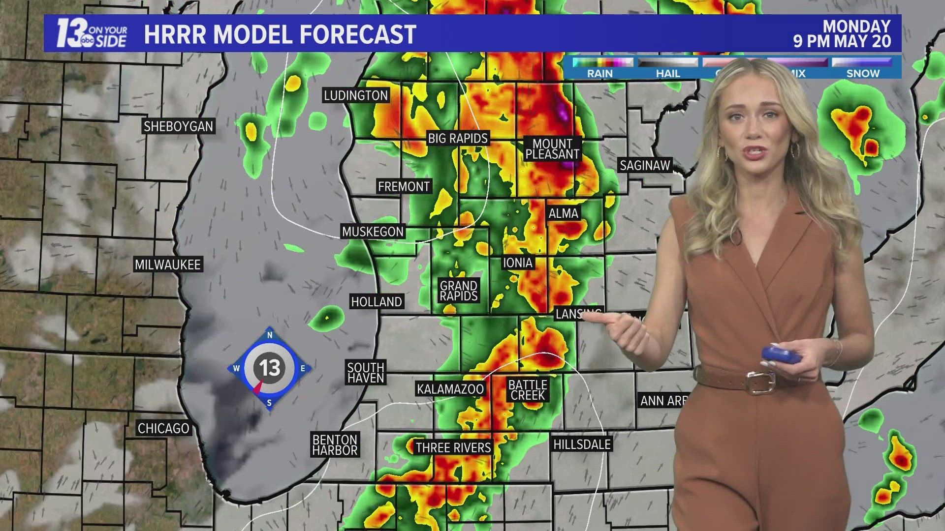
The one exception may be north and east of Grand Rapids, where several hours of freezing rain is likely. Up to a tenth of an inch of ice is possible. Areas included are Big Rapids, Cadillac, and Mount Pleasant. The freezing rain will become rain in the early afternoon.


Widespread and heavy rain will continue until around 5 to 7 p.m., when a brief break in showers is likely.
Eventually a transition to snow will occur. This will happen before midnight, starting in the northwest and shifting southeast. However, snow showers are not expected to traverse south of I-96.
Snow accumulations will be greatest near US-10 and taper to the south. Areas south of I-96 will most likely not see accumulating snow.


Roads will become slick as the transition to snow happens. Travel early in the evening and consider plans to limit travel after midnight. Travel conditions will be the worst near US-10.
►Make it easy to keep up to date with more stories like this. Download the 13 ON YOUR SIDE app now.
Have a news tip? Email news@wzzm13.com, visit our Facebook page or Twitter.