
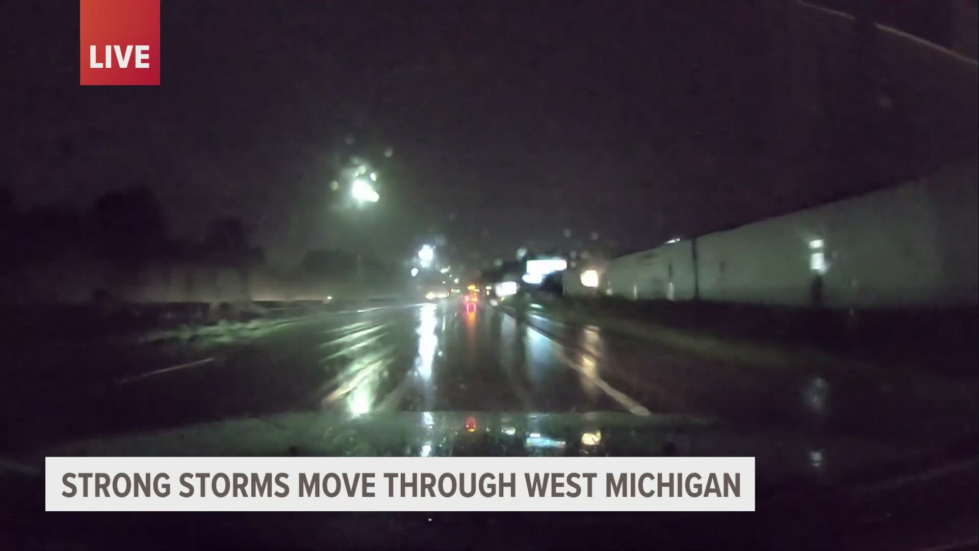
VAN BUREN COUNTY, Mich. — The National Weather Service issued a tornado watch until 3 a.m. Thursday for multiple West Michigan counties.
The watch is in effect for the following counties statewide: Allegan, Barry, Berrien, Calhoun, Cass, Eaton, Hillsdale, Ingham, Jackson, Kalamazoo, Lenawee, Livingston, Macomb, Monroe Oakland, St. Joseph, Washtenaw and Wayne.
A tornado warning was also issued for Van Buren County. The warning will be in effect until 10:15 p.m. Wednesday.
A severe thunderstorm capable of producing a tornado was located near Watervilet around 9:27 p.m., 10 miles northwest of Dowagiac, the National Weather Service says.
It began moving east at 45 mph. Weather officials say there could be flying debris, tree damage and mobile homes could be damaged or destroyed. There will likely be damage to roofs, windows and vehicles.
According to the Center for Disease Control, these are the signs of an incoming tornado:
- A dark or green-colored sky
- A large, dark, low-lying cloud
- Large hail
- A loud roar that sounds like a freight train
In the event a tornado is touching down in your area, you should do the following:
- Go to the basement or an inside room without windows on the lowest floor (bathroom, closet, center hallway).
- If possible, avoid sheltering in any room with windows.
- For added protection get under something sturdy (a heavy table or workbench). Cover your body with a blanket, sleeping bag or mattress. Protect your head with anything available.
- Do not stay in a mobile home.
Portions of West Michigan are still under a flood watch. That's in effect until 2 a.m. Thursday for the following counties: Newaygo, Muskegon, Montcalm, Gratiot, Ottawa, Kent, Ionia, Clinton, Allegan, Barry, Eaton and Ingham.
After midnight Wednesday, showers and storms will move out and drier skies are expected Thursday.
Thunderstorms and rainfall could bring anywhere from 1 to 2"+ of rain to the region, with potentially localized heavier amounts. The heaviest rainfall will likely set up between I-96 and I-94.
A confirmed tornado was on the ground near Chicago's O'Hare airport around 7 p.m. Wednesday, according to the National Weather Service.
“This tornado has been touching the ground intermittently so far and is moving east. There are additional circulations along the line south of O’Hare. Seek shelter if in the warned area," it said.
Video from TV stations showed hundreds of people taking shelter in an O’Hare concourse. Some 166 flights were canceled and nearly 500 were delayed, according to the flight tracking service FlightAware.
The National Weather Service issued two tornado warnings for portions of the city Wednesday evening. Tornado sirens sounded at least twice across Chicago, warning people to take cover and ringing through the city’s buildings.
Stay informed with weather conditions by looking at the 13 ON YOUR SIDE Weather page and following our livestreams on Facebook.
►Make it easy to keep up to date with more stories like this. Download the 13 ON YOUR SIDE app now.
Have a news tip? Email news@13onyourside.com, visit our Facebook page or Twitter. Subscribe to our YouTube channel.